
In-Place MEMS borehole inclinometer – ±15° (Vertical/Horizontal) – High precision – 12 VDC
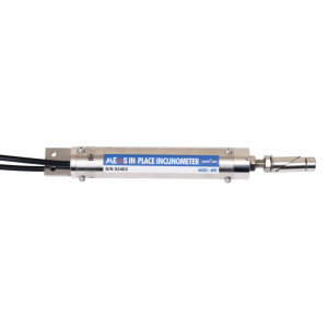
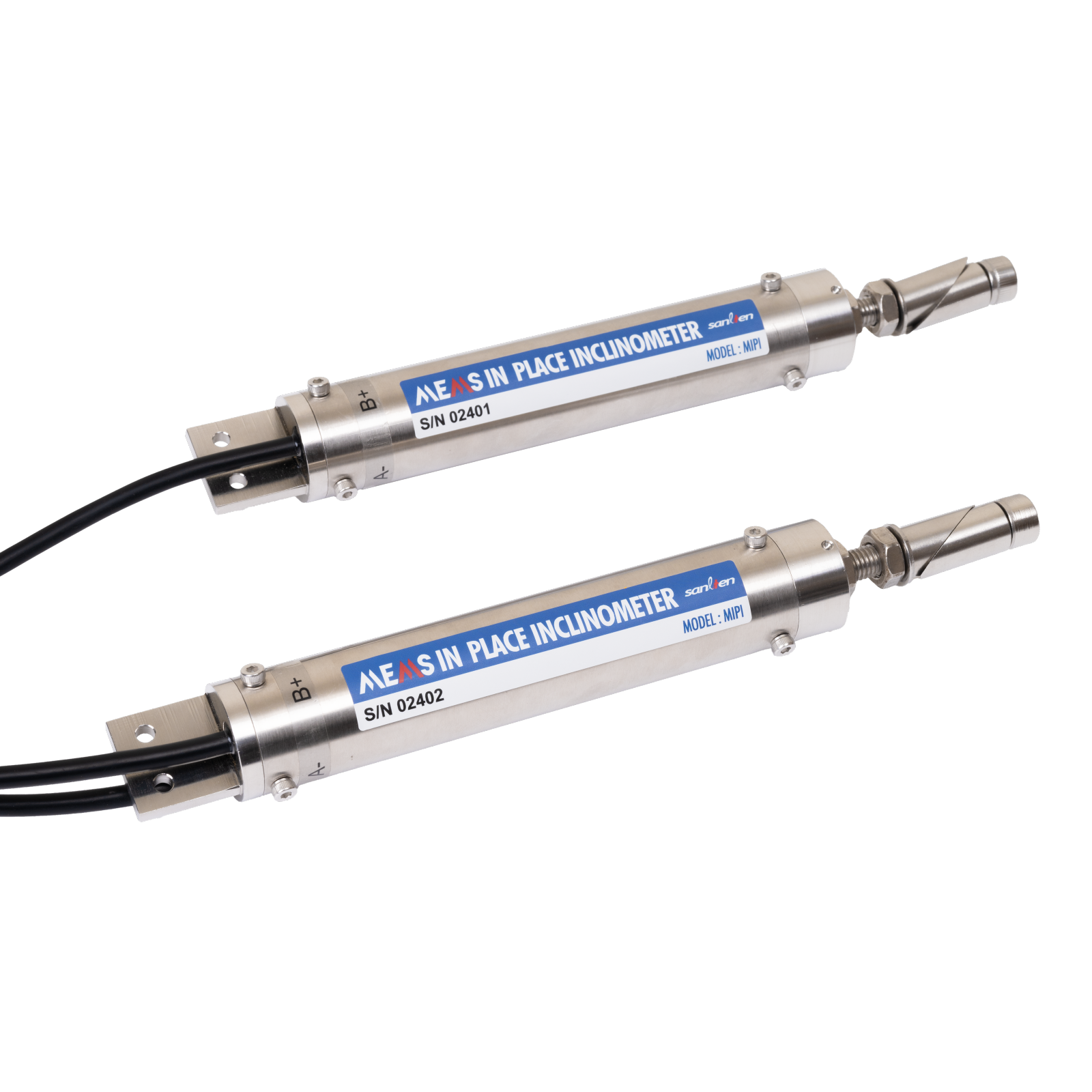
- Bi-axial In-Place (MEMS) inclinometer for boreholes
- Measuring ranges: ±15° (Vertical) / ±15° (Horizontal)
- Resolution: < 10 arc seconds
- Accuracy: ±0.1 % F.S
- Housing: ABS plastic tube
- MEMS technology
- Internal low-pass filter – tracking of slow movements
- Output signal: RS-485, Modbus RTU protocol (digital)
- Bus: multi-sensor daisy chaining (RS-485 addressing)
- Typical bandwidth: 0-10hz
- Dimensions: Φ32 mm x 215 mm
- Supply voltage: 12 VDC
- Operating temperature: -20 °C to 80 °C
Download the product datasheet
Overview
The MIPI model is a uniaxial or biaxial (as required) high-precision digital inclinometer designed for monitoring soils, landslides, retaining structures, embankments or deep structures. Based on a robust and stable MEMS technology, it provides continuous monitoring of deformations with an angular resolution < 10 arc seconds over a ±15° measuring range. The measurement signal is transmitted digitally via RS-485 (Modbus RTU protocol), allowing several sensors to be connected in series along the same borehole for accurate, automated monitoring.
Specifications
| Measuring range | ±15° |
|---|---|
| Resolution | < 10 arc seconds |
| Accuracy | ±0.1 % F.S |
| Response time | 0.15 sec |
| Power supply | 12 VDC |
| Environmental | -20 °C to 80 °C |
| Material | Stainless steel |
| Connectivity | 3m 6-wire cable output |
Installation
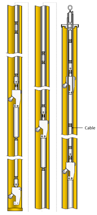
The IPI-MEMS MIPI borehole inclinometer is designed to be installed in series in inclinometer casings to form a continuous measurement chain along a vertical or inclined borehole.
The system allows a multi-level instrumentation setup for monitoring landslides, embankments, retaining structures or deep structures, with a number of sensors adjustable according to the depth of the well. All required accessories (rods, connectors, cables, junction boxes, acquisition units, etc.) are available on request.
The typical power supply is 12 VDC, and communication is via RS-485 (Modbus RTU). A complete remote monitoring solution can be offered, including data acquisition, logging and visualization on a web platform.
Applications
- Slope monitoring
- Ground subsidence
- Geotechnical monitoring
- Borehole
- Embankments
- Angle measurement and control
- Micropiles
- Soil settlement
- Technologie
- MEMS capacitive
- Number of Axis
- 1 Axis, 2 Axis
- Etendue de mesure
- 15 °
- Résolution
- 0.001° - 0.01°
- Bandwidth (+/-5%)
- 5 Hz
- Application
- geotechnical
- Sortie analogique
- RS-232/422/485
- Digital output signal
- RS-485
- Tension d'alimentation
- 12 V DC ± 10 %
- Operating temperature range
- -25 to 70 °C
- Housing
- Stainless Steel
 MEMS-In-Place-Inclinometer-DM_EN.pdf
Dimensions: Φ32 mm x 215 mm
- Uniaxial or Biaxial
- Housing / display / datalogger.
- Cable length
- Cable
- Connector
- Display
- Datalogger
- DAQ
Related products
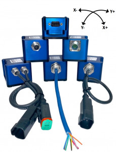
JDI-100 / JDI-200
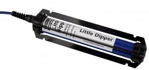
Inclinomètre de forage - Model 906
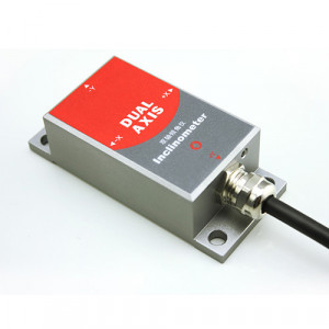
SCA Series
 +33 1 46 91 93 32
 Contact form
 Subscribe to the newsletter